40°C heat and severe storm warnings issued for Monday
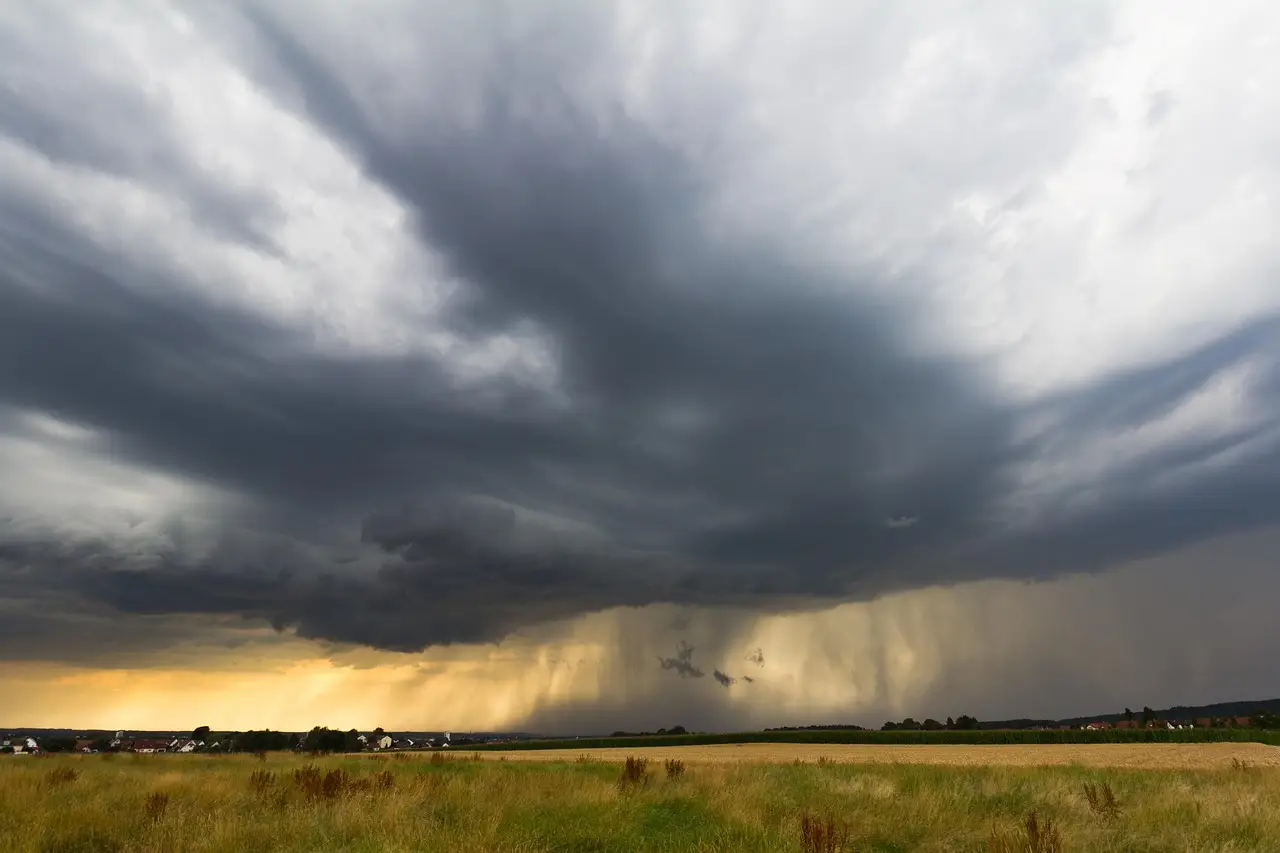
Forecasters have issued a 40°C heat warning for Monday alongside severe storm alerts, creating a double hazard for livestock and standing crops across affected regions.
- Entered
- Plot
- 0.9 ha
- Record
- 380 words
- Walk-through
- 2 min
DrillSprayHarvestCurrent stage
Agronomist’s notes
- 40°C heat forecast for Monday
- Severe storm warnings issued for the same day
- Combined heat-and-storm alert reported by African Farming
- Heat stress risk for livestock and hail/wind risk for standing crops coincide
A 40°C temperature forecast for Monday, issued alongside severe storm warnings, is the headline figure farmers across affected regions need to plan around this weekend.
African Farming reports the twin warnings: blistering heat pushing toward the 40°C mark, and a separate alert for severe storms on the same day. It's an awkward combination, and not an unusual one. Extreme heat destabilises the atmosphere, and the atmosphere tends to invoice accordingly.
What does this change for farmers?
For livestock producers, a 40°C day is a welfare event before it is a productivity event. Heat stress in cattle kicks in well below 40°C, particularly with high humidity. Water demand surges, shade becomes infrastructure rather than scenery, and handling, transport and vaccination work should move to the coolest hours or wait entirely.
For croppers, the calculus is different. A severe storm on the back of extreme heat brings two distinct threats:
- Hail and damaging winds flattening standing crops
- Waterlogging or runoff on soils baked dry and unable to absorb a fast deluge
Irrigated operations face the sharper question. Watering ahead of a forecast storm risks saturation if the storm lands; skipping it risks heat damage if the storm doesn't. The forecast's uncertainty, not the temperature itself, is the expensive part.
Why heat-plus-storm is the difficult pairing
A single hazard is manageable. Two contradictory ones on the same day force choices. Do you move animals to shelter for the storm, or keep them in open airflow for the heat? Do you harvest early and accept lighter yields, or gamble on the crop standing through both?
There's no universal answer, which is why the warnings matter. Decisions like these get made farm by farm, crop by crop, and usually with one eye on the sky and the other on the forecast update.
What to watch next
Monitor official meteorological updates through the weekend, because severe storm warnings are typically refined — or downgraded — within 24 hours of the event. Farmers in the affected areas should treat Monday as a no-routine-work day: livestock checked and watered early, machinery secured, harvest or spraying plans held pending the final forecast. The next bulletin will tell you whether Monday is a storm story or merely a hot one.
via Google News: farming weather (Source)
More from Priya Raman
Show full bio
Senior reporter covering technology and product news in production farming and field operations at Arable Wire.
161 articles
Nearby records
- RL 87Friday Forecast: Hot Interior, Isolated Storms, Cooler South CoastOctober 9, 2026
- DW 41USDA Weather Outlook Puts U.S. Crops on Alert as Heat ExpandsOctober 12, 2026
- CD 58USDA Weather Alert: Frost, Flooding and Heat Hit U.S. FarmsOctober 18, 2026
- YY 45Heat Tests U.S. Crops and Pastures as Weather Stakes RiseOctober 10, 2026
- HS 22USDA Warns Extreme Heat and Drought Threaten U.S. CropsOctober 12, 2026