73% of Nebraska Pastures Poor as Heat Dome Presses U.S. Farm Margins
Nebraska rangeland is 73% poor or very poor as of August 16, USDA reports. Add 105°F Delta heat, Corn Belt flooding and Colorado River storage at 43% of normal — 2026 margins split along a weather line.
- Entered
- Plot
- 1.7 ha
- Record
- 678 words
- Walk-through
- 3 min
DrillSprayHarvestCurrent stage
Agronomist’s notes
- Nebraska rangeland and pastures: 73% rated poor or very poor as of August 16, 2026 (USDA)
- Colorado River Basin storage stands at about 43% of its historic average and 28% of capacity (USDA)
- Five-day forecast calls for 1 to 3 inches of rainfall across the eastern half of the U.S., with higher amounts in the southern Corn Belt
- August 24–28 NWS outlook cited by USDA favors near- or above-normal temperatures and precipitation across most of the U.S.
- Temperatures are expected to reach 100°F in parts of the Southeast and 100°F to 105°F from the Delta westward
Nebraska's rangeland and pastures are in their worst shape of the 2026 season, with 73% rated poor or very poor as of August 16 in the USDA's Agricultural Weather Highlights released August 19. The reading signals a stressed cow-calf sector, record heat across the southern Plains and flooding in the Corn Belt — all pressing farm margins from different directions.
What does the USDA assessment show?
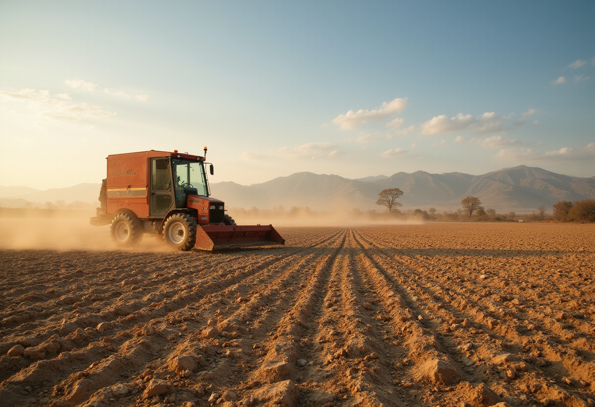
Across Oklahoma, Texas and eastern New Mexico, record-setting temperatures and rapidly worsening drought are reducing prospects for rain-fed summer crops and pressuring livestock operations. Overnight thunderstorms offered localized relief across the central Plains but have not erased the broader moisture deficit. Lake Powell and Lake Mead continue to set record-low levels as chronic drought grips the West.
Where is crop stress tightening margins most?
Texas, Oklahoma and eastern New Mexico took the hardest combination: high heat and limited rainfall. Heat increases livestock water demand, trims forage quality and pressures weight gain, USDA warned. Persistent dryness limits pasture recovery, cutting the cheap-feed option for many ranchers and forcing supplemental purchases at higher costs.
For crop producers, shrinking yield expectations will tilt marketing decisions toward crop insurance protection in 2026. "The longer extreme heat and drought persist, the greater the potential financial consequences for cattle operators and dryland farmers," USDA wrote — particularly where purchased feed must carry operations through to fall.
What is happening in the Corn Belt?
The Corn Belt presents a split picture. Near-ideal temperatures cover much of the region for corn and soybeans. Pockets of drought linger in northern and western production areas. Heavy overnight thunderstorms renewed flooding in the middle Mississippi Valley and southern portions of the Corn Belt, and lowland flooding persisted in central Illinois and Indiana after last week's heavy rainfall.
The flooding raises localized risks for crop condition, field access and late-season management even as broader temperature conditions remain favorable for grain fill.
How deep is the Western water shortage?
The South adds another pressure point. Temperatures approached 100°F in parts of the Southeast and reached roughly 100°F to 105°F from the Delta westward, accelerating soil-moisture losses and raising irrigation, feed and other farm input costs across cotton, soybean and rice country.
In the West, chronic drought continues to drain reservoirs. Colorado River Basin storage now stands at about 43% of its historic average and 28% of capacity — a structural shortfall with implications for irrigation availability, land values and capital investment decisions stretching well beyond the 2026 crop.
What wild cards could lift — or deepen — the damage?
USDA flagged wildfire risk across the Northwest, where dozens of fires at various containment stages degraded air quality around the Cascades. Fire can disrupt grazing, transportation, labor and supply chains, adding indirect costs even where fields and livestock avoid direct damage.
Two cold fronts crossing the central and eastern United States are expected to focus thunderstorm activity into the weekend, with rainfall totals of 1 to 3 inches across the eastern half of the country and higher amounts possible in the southern Corn Belt and middle and southern Atlantic states. The moisture could rescue crops in dry pockets, but excessive rainfall risks worsening flooding where soils are already saturated.
What does the August 24–28 outlook look like?
The National Weather Service outlook cited by USDA favors near- or above-normal temperatures and precipitation across most of the country for August 24–28. Drier-than-normal weather is expected to stay concentrated in the south-central United States, including much of Texas and Louisiana. "That contrast could widen the economic divide between farms receiving timely late-season rainfall and operations facing persistent drought," USDA stated.
What should farmers and traders watch next?
Grain and livestock markets will track the pattern for signals on final yields, pasture recovery, feed costs and regional commodity supplies. Watch the NWS Thursday update, the August 24–28 temperature trend across the southern Plains and the next reservoir storage revisions at Lake Powell and Lake Mead for the next round of risk pricing.
via localhost (Original)
More from Priya Raman
Nearby records
- NR 66Plains Heat Builds While Northwest Rains Delay PlantingOctober 3, 2026
- TN 28Oklahoma wheat crop halved as drought grips 2026 seasonOctober 3, 2026
- SQ 42Oklahoma Corn Harvest Hits 67% as Pasture Conditions ImproveOctober 10, 2026
- PZ 22Tropical Storm Edouard Targets Texas as Plains Drought DeepensOctober 10, 2026
- RZ 94Oklahoma winter wheat harvest hits 44% completeOctober 3, 2026