Status Yellow wind warning issued for five Munster counties
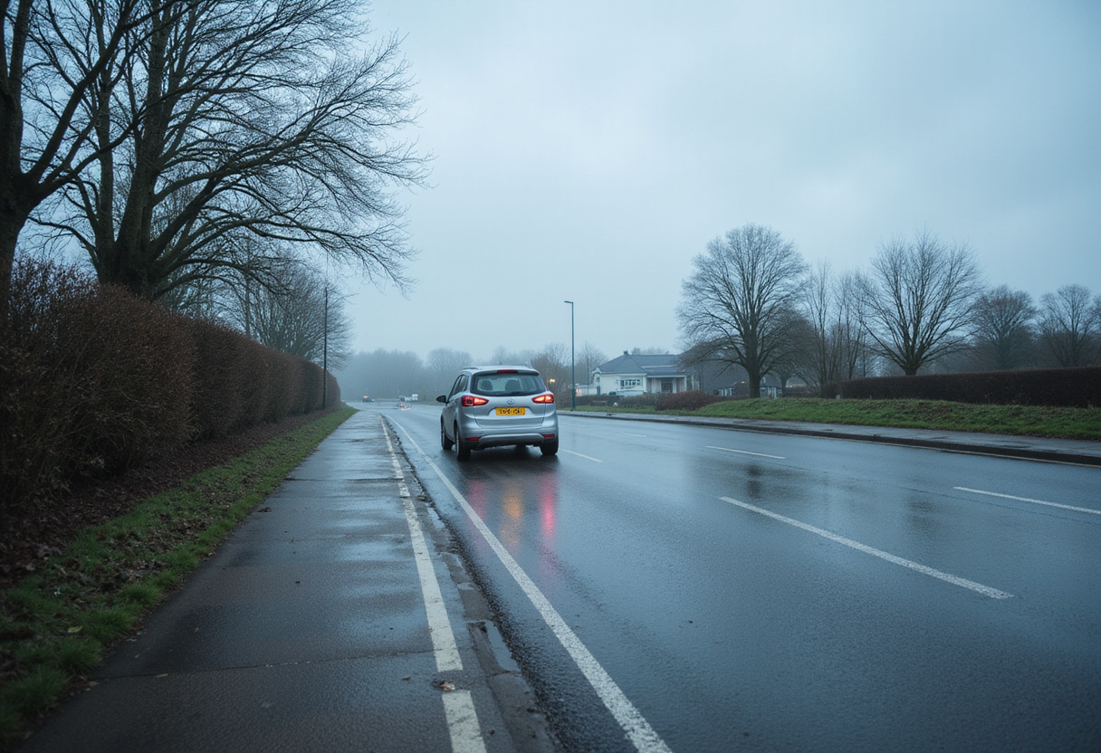
Met Éireann has placed five Munster counties under a Status Yellow wind warning from 1pm to 9pm on Tuesday, September 29. A separate rain warning covers Cork, Kerry and Waterford.
- Entered
- Plot
- 1.5 ha
- Record
- 612 words
- Walk-through
- 3 min
DrillSprayHarvestCurrent stage
Agronomist’s notes
- Status Yellow wind warning covers five Munster counties: Clare, Cork, Kerry, Limerick and Waterford
- Warning runs from 1:00 p.m. to 9:00 p.m. on Tuesday, September 29, with south-easterly winds reaching near gale force
- Separate Status Yellow rain warning covers Cork, Kerry and Waterford in the same 1pm–9pm window
- Monday will see highest temperatures of 14°C to 17°C before conditions deteriorate on Tuesday
- Met Éireann expects winds to ease below warning thresholds by Wednesday morning as the pattern turns more mixed later in the week
Met Éireann has placed five Munster counties under a Status Yellow wind warning running from 1:00 p.m. to 9:00 p.m. on Tuesday, September 29.
The 8-hour alert covers Clare, Cork, Kerry, Limerick and Waterford. Forecasters expect very strong and gusty south-easterly winds, increasing fresh to strong through the morning before reaching near gale force in the afternoon and evening.
Which impacts should coastal and rural areas prepare for?
Met Éireann lists wave overtopping and coastal flooding as the primary hazards. The risk is amplified by a combination of spring tides, storm surge and very strong onshore winds striking exposed Atlantic and southern coastlines.
Inland, the agency warns of:
- Difficult travelling conditions on rural and secondary routes
- Fallen trees, broken branches and wind-blown debris on roads
- Loose objects displaced by gusts, including farm equipment, gates and sheeting
A separate Status Yellow rain warning covers Cork, Kerry and Waterford across the same 1:00 p.m. to 9:00 p.m. window. Spells of heavy rain will bring localised flooding, poor visibility and further disruption to farm traffic and harvesting runs.
The combination of heavy rainfall and gusty south-easterly winds will hit exposed coastal districts hardest, where localised flooding is most likely during the late afternoon and evening.
What does the rest of the week look like?
Today (Monday) will stay dry and bright for most of the country, with spells of sunshine, hazy conditions at times, isolated showers and highest temperatures of 14°C to 17°C. A light to moderate south to south-easterly breeze will dominate.
Monday night will remain dry for most areas with clear spells, but cloud will thicken over the southern half of the country overnight, bringing patchy rain and drizzle towards Tuesday morning.
The north will hold onto some early bright spells on Tuesday, but elsewhere the day will start cloudy. The south-west will see more persistent rain develop early in the afternoon. That rain band will then track north-eastwards through the afternoon and evening, turning heavy in places with localised flooding possible on low-lying ground.
By midweek, the broader pattern looks set to remain unsettled and blustery before likely turning more mixed as the week progresses, according to Met Éireann. Wind speeds should drop back below warning thresholds by Wednesday morning as the system tracks away to the north-east.
What should growers and livestock producers watch next?
Farmers in the five warned counties should secure loose structures, gates, doors and silage sheets before midday Tuesday to limit wind damage. Tractors left idle in exposed yards should be parked clear of overhanging trees.
Coastal holdings along the Cork, Kerry, Clare and Waterford shorelines face the highest risk from wave overtopping, particularly where spring tides coincide with the strongest onshore winds. Tide times through the afternoon high-water window should be cross-checked locally before moving livestock or machinery to low-lying pasture.
Travelling conditions on rural routes will deteriorate as rain and wind peak in the late afternoon and early evening. Operators should plan machinery moves, livestock haulage and feed deliveries before 1:00 p.m. or postpone them until Wednesday, when both warnings expire.
The next decision point for most farms is whether ground and weather clear by Wednesday morning for silage cuts, slurry spreading or autumn cultivations, or whether fieldwork slips to the back end of the week. Met Éireann's midweek outlook points to a gradual easing of winds but continued showers, with the pattern turning more mixed rather than fully settled by Friday.
Farmers should monitor updated Met Éireann forecasts on Tuesday evening before committing to plans for Wednesday and beyond.
via cdn.agriland.ie (Original)
More from Olivia Hart
Show full bio
News editor covering marketplaces and e-commerce at Arable Wire.
116 articles
Nearby records
- WT 17Met Éireann issues four status yellow wind and rain warningsSeptember 29, 2026
- UL 64Met Éireann extends Status Yellow rain warning to Sunday morningOctober 10, 2026
- AT 12Cork and Kerry under yellow wind warning from 1pm TuesdayOctober 10, 2026
- FA 17Status Yellow rain warning covers four counties from 04:00 SundayOctober 10, 2026
- SY 43Unsettled Weekend Ahead but Dry Spells Offer Fieldwork WindowsOctober 2, 2026