Storm Austen prompts two Status Yellow rain warnings for Ireland
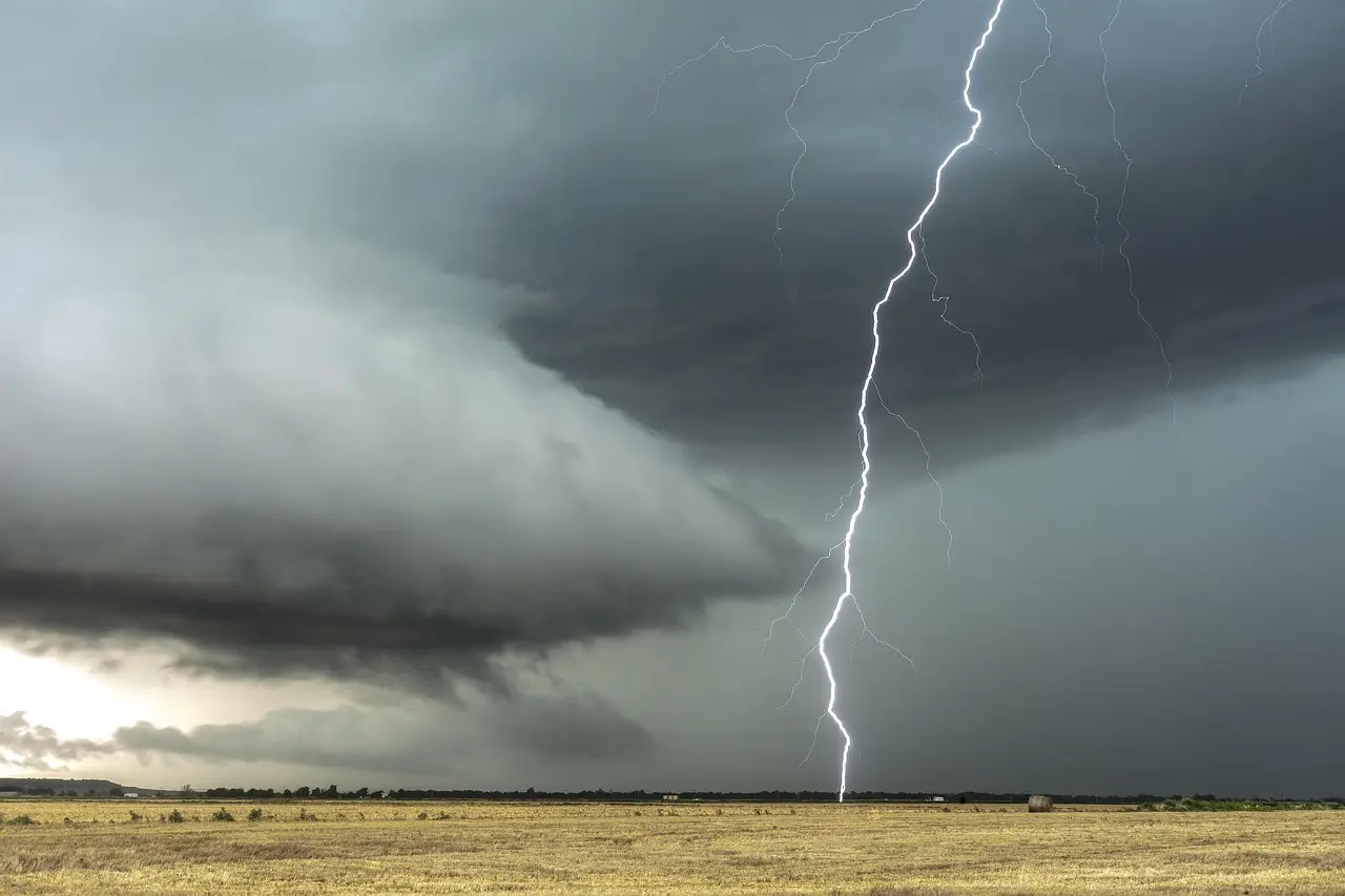
Storm Austen, the first named storm of the 2026/2027 season, brings two Status Yellow rain warnings: Dublin and Wicklow Wednesday morning, then all of Ireland from Thursday 7:00p.m.
- Entered
- Plot
- 1.1 ha
- Record
- 421 words
- Walk-through
- 2 min
DrillSprayHarvestCurrent stage
Agronomist’s notes
- Status Yellow rain warning for Dublin and Wicklow runs 1:00a.m to 8:00a.m on Wednesday, October 21
- Storm Austen is the first named storm of the 2026/2027 season
- A national Status Yellow rain warning runs from 7:00p.m Thursday until 8:00a.m Friday
- Met Éireann warns of localised flooding, difficult travel and impacted outdoor events
- Weekend turns very windy on Saturday with strong, gusty westerly winds
Met Éireann has issued two Status Yellow rain warnings inside four days, with Storm Austen — the first named storm of the 2026/2027 season — set to push heavy rain across Ireland from Thursday evening.
The opening warning covers Dublin and Wicklow only. It runs from 1:00a.m until 8:00a.m on Wednesday, October 21, and carries the usual small print: difficult travelling conditions and localised flooding.
The second warning is national in scope. It kicks in at 7:00p.m on Thursday and holds until 8:00a.m on Friday. That's a 13-hour window of persistent rain, spreading eastwards across the country as the storm tracks through.
Met Éireann has set out three potential impacts for the national warning:
- Difficult travelling conditions
- Localised flooding
- Outdoor events impacted
No wind warning has been attached to the storm so far, which is at least something.
What does this change for farmers?
Practically, it means the working week gets carved up. Wednesday's pre-dawn warning for the east coast is a nuisance rather than a crisis. Thursday night into Friday morning is the one that matters.
Any ground still carrying stock, or any fields waiting on late harvesting or fieldwork, takes another soaking. Low-lying land in the flood-prone spots flagged by the warning is where the damage concentrates. If there's machinery to move or fertilizer to shift, Wednesday and Thursday daylight hours are the reliable slots. After that, patience.
Livestock farmers on heavy ground should check gateways and drains now rather than Friday. Localised flooding is Met Éireann's phrase, but it's farmers who deal with the aftermath.
How does the weekend shape up?
Once the rain clears on Friday, the forecast turns blustery: sunshine and showers with moderate to fresh north-westerly winds through the day.
Friday night brings the next system. Rain moves in from the west, reaching all areas by morning, with southerly winds strengthening behind it.
Saturday starts wet everywhere. The rain then clears eastwards, showers follow, and it turns very windy with strong, gusty westerly winds — a drying day on paper, less so in practice.
Sunday looks the pick of the bunch: cool, breezy, sunshine and showers, with fresh westerly gusts. Not gold weather. Usable, though.
The takeaway: a wet end to the week, a blustery recovery, and ground conditions that will test drainage rather than machinery. Farmers should watch for any upgrade of the Thursday-to-Friday warning — Status Yellow can climb a rung when rainfall totals firm up.
via cdn.agriland.ie (Original)
More from Priya Raman
Show full bio
Senior reporter covering technology and product news in production farming and field operations at Arable Wire.
182 articles
Nearby records
- UL 64Met Éireann extends Status Yellow rain warning to Sunday morningOctober 10, 2026
- YB 24Met Éireann issues Status Yellow rain and wind warnings for seven countiesOctober 13, 2026
- WA 92Status Yellow rain warning hits five western counties until 4am FridayOctober 10, 2026
- NK 85Status Yellow wind warning for Donegal, Galway and MayoOctober 12, 2026
- WT 17Met Éireann issues four status yellow wind and rain warningsSeptember 29, 2026