Oklahoma Producers Weigh Rain Promise Against Storm Risk
An approaching cold front puts Oklahoma producers on watch for needed rainfall — and the severe weather that could arrive with the same system.
- Entered
- Plot
- 0.7 ha
- Record
- 277 words
- Walk-through
- 1 min
DrillSprayHarvestCurrent stage
Agronomist’s notes
- A cold front is approaching Oklahoma with potential for rain and severe weather.
- Producers are monitoring rainfall potential against storm, wind and hail threats.
- Forecast detail sharpens within 24-48 hours of the front's arrival.
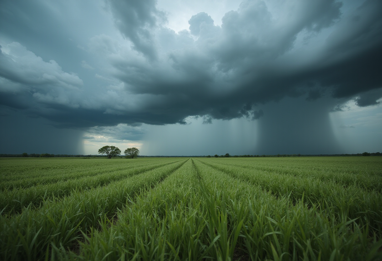
A cold front approaching Oklahoma has agricultural producers across the state tracking two outcomes at once: the potential for needed rainfall and the threat of severe weather that could ride in with the same system.
The forecast puts farmers and ranchers in a familiar double bind. Moisture from the front would support winter wheat and pasture conditions heading deeper into the growing season, but the atmospheric setup that produces rain this time of year in the Southern Plains can also spin up damaging storms, high winds and hail.
Why one front means two decisions?
For wheat growers, rain arriving now would shore up soil moisture profiles at a point in the season when crop condition ratings hinge on timely water. For cattle producers, the calculus differs: severe weather, particularly hail and straight-line winds, threatens livestock, fencing and stored feed.
That split shapes near-term field decisions. Operators weighing herbicide or fertilizer applications have to judge whether a rain event will incorporate product as intended — or whether storm damage and waterlogging will undo the work entirely.
What should producers watch next?
The practical advice from Oklahoma agricultural weather watchers is straightforward: monitor National Weather Service outlooks as the front gets closer, since severe weather risk areas and rainfall totals typically sharpen within 24 to 48 hours of arrival. Producers should also secure loose equipment, check livestock shelter arrangements and hold off on field operations that storm damage could waste.
Ongoing coverage from the Oklahoma Farm Report will track rainfall totals, storm reports and crop-condition fallout once the front clears the state — the figures that will tell producers whether this system netted out as blessing or loss.
via Google News: farming weather (Source)
More from Priya Raman
Nearby records
- RA 82Lee County Farmers Battle Weather Obstacles During HarvestOctober 10, 2026
- PZ 22Tropical Storm Edouard Targets Texas as Plains Drought DeepensOctober 10, 2026
- TN 28Oklahoma wheat crop halved as drought grips 2026 seasonOctober 3, 2026
- WF 12U.S. Wheat Harvest Pushes North as Plains Showers Slow CombinesOctober 10, 2026
- RH 29Hurricane Polo and Cold Front Threaten US Harvest and Winter Wheat PlantingOctober 3, 2026